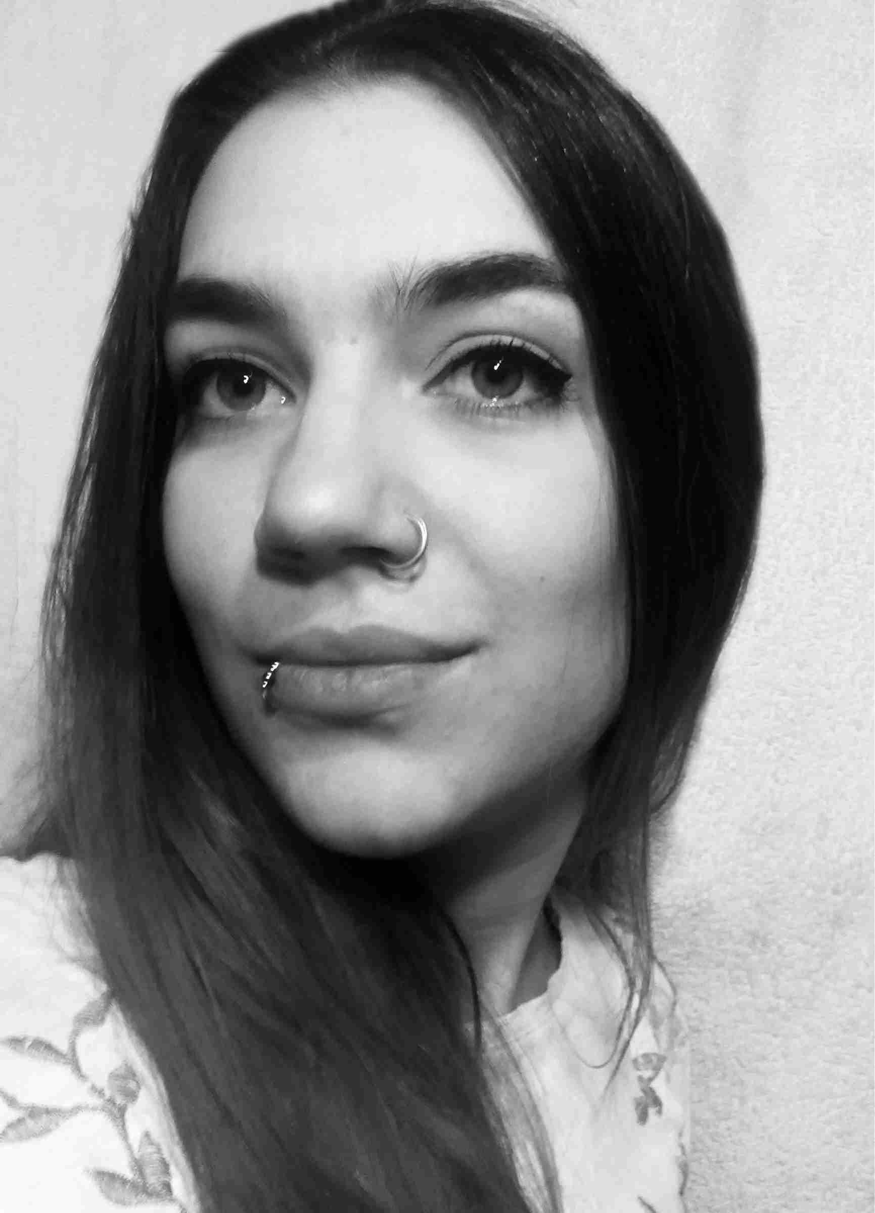
CV
Name: Katalin Zsoldi
DATE OF BIRTH: 17.11.1986
Email: zsoldikatalin@gmail.com
|
|

|
STUDIES:
|
09.2013
|
|
Summer university, short study in Dresden in Germany in Cartographic Institute. I spent there one month; I had courses in Glacier moves, 3D laser scanning, and lenticular 3D
|
|
2010 – 2014
|
|
Eötvös Loránd University, PhD student in Cartography
|
|
2005 – 2010
|
|
Eötvös Loránd University, BSc, Cartographer degree
|
|
2001 – 2005
|
|
Bibó István High school (Hévíz) graduation
|
WORKS:
|
2014 –
|
|
Institute of Educational Research. Digital curriculum developer and digital Eeditor of physics and chemistry.
|
|
2013 – 2014
|
|
Render Net ltd. Creating interactive and 3D curriculum for elementary and high schools. I was the expert of geography and physics; I developed new models and wrote narrations
|
|
2011 – 2012
|
|
Cooperated with the Astrophysical Department of Eötvös Loránd University. I created the 3D model of the Virgo galaxy. The map was presented in real 3D, in the 3D stereoscopic lab of the university
|
|
2011 – 2012
|
|
ELTE Soft ltd, research assistant. My research area was: develop 3D GIS database for city models, create 3D maps, and develop the principles of automatic generalisation in GIS.
|
|
2011. jan – 2011. szept.
|
|
CAE Engineering ltd. cartographer. Create tactical military map for Germany, create 3D landscape for flight simulation.
|
|
2008 – 2010
|
|
Geo Adat ltd. cartographer. I was working on database of electrical works, georeferate satellite images, evaluation agricultural plants in satellite images and controlling the fields in Germany
|
LANGUAGES:
|
English
|
|
intermediate, good speaking and writing skills
|
|
German
|
|
intermediate, good speaking and writing skills
|
COMPUTER KNOWLEDGE:
|
Graphic:
|
|
Adobe Illustrator, Photoshop, Corel Draw, Ocad, Flash, Inkscape
|
|
GIS
|
|
Map Info, Arc Gis, Geo Media, Global Mapper, Autodesk InfraWorks, City Engine.
|
|
3D modeling
|
|
Blender, Maya, Unity.
|
|
Programming
|
|
HTML, basic: Pascal, C#.
|
RESEARCHES:
|
2010 – 2014
|
|
My PhD research topics are the 3D cartographic applications. I created different 3D maps for education, experts; informing maps, 3D thematic maps. I developed my maps in real 3D in different platforms: stereoscopic 3D projection system, 3D laptop, TV and mobile phone,
|
|
2011 – 2014
|
|
Develop the 3D underground map of Budapest. I collected the data of underground objects; create a database and modelling them in 3D. The map is presented in real 3D
|
|
2010 – 2014
|
|
Teaching BSc and MSc students at Cartographic Department of Eötvös Loránd University in Budapest. I was teaching GPS practice, Ocad and 3D modelling. I made many presentations in the Visualization Centre. It is a stereoscopic 3D lab at the Eötvös Loránd University
|
|
2010
|
|
My BSc thesis was to create a 3D geological model. I was modelling 9 layers, from where oil and gas are mining. The map is presented in true 3D
|
|
2009
|
|
I created a touristic map of Budapest. The first edition was printed in 10000 copies, the second edition in 20000 ones.
|
Other activities:
|
2013
|
|
I worked in a cartographic conference in Dresden in 2013
|
|
2010
|
|
My map was publicated in Think magazine.
|
|
2010
|
|
I created the map annex of Budapest architecture tour guide book.
|
PUBLICATION:
|
3D methods in cartography: |
|
LINK
|
|
Budapest 3D underground map:
|
|
LINK
|
CONFERENCES:
|
21 – 25.aug.2013
|
|
ICA 2013 conference in Dresden, presentation: Budapest 3D underground map
|
|
21 – 23.11.2011
|
|
LBS 2011 8th Symposium on Location-Based Services conference. Austria, Wien
|
|
5 – 9.09.2011
|
|
IAMG2011 conference, Austria, Salzburg. Poster and presentation
|
Hobby:
|
Basketball, hiphop dance, bikeing, tennis, handmade stuffs, playing music.
|


